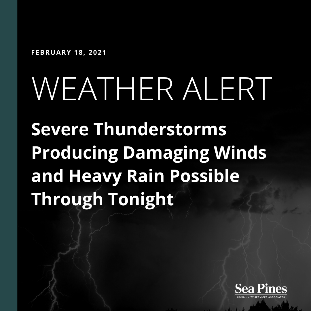
SEVERE THUNDERSTORMS AND HEAVY RAIN POSSIBLE THROUGH TONIGHT
2/18/21 at 9:30 AM-
From the National Weather Service:
A warm front will lift northward and linger across the forecast area today before a cold front moves offshore tonight. Isolated thunderstorms are expected this afternoon and evening. A few of these thunderstorms could become severe and produce heavy rainfall.
TIMING:
- Approximately 3 PM to 9 PM today
- The highest threat area includes all of Southeast Georgia and portions of Southeast South Carolina along and near the Savannah River
HAZARDS & IMPACTS:
- Damaging Winds: Wind gusts in excess of 58 mph could damage trees and power lines and result in scattered power outages.
- Tornadoes: An isolated tornado will be possible
- Heavy Rainfall: Rainfall amounts of 1 to 3 inches could produce localized flooding of low lying and poor drainage areas, especially in urban areas. Paved and dirt roads could be damaged or washed out inland. Rapid rises on small streams and creeks could also occur.
ADDITIONAL INFORMATION: